![]()
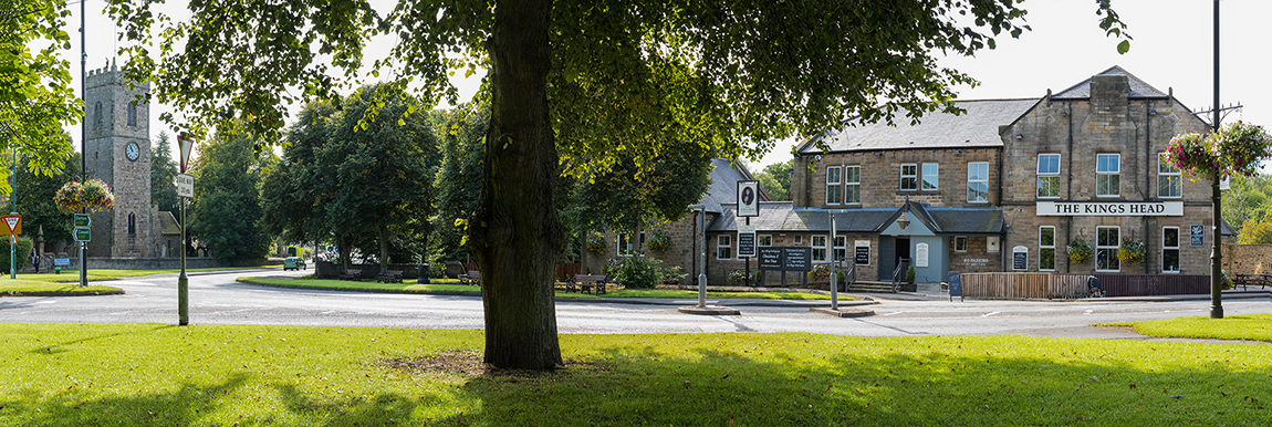
The Locality Map Project sprang from the Parish Locality Map and aimed to support the rural community, promote tourism and the historic environment and protect and enhance biodiversity in and around the Parish of Lanchester. You can view a copy of the locality map here, or download a summary leaflet here.
Over 18months the project delivered a program of training based around the landbased economy, the historic environment and wildlife. Our training pages provide information about what training was provided.
Volunteers were at the core of the project and there were many ways to get involved. You can find out what volunteer opportunities there were with the project here.
A program of events to celebrate and promote the many facets to the Parish was ongoing throughout the projects lifetime. To see what took place visit the events section.
| |
|||
The European Agricultural fund for rural development : Europe investing in rural areas |
|||
Funding is being made available through the Rural Development Programme for England, which is jointly funded by Defra and the European Union and, is managed by One NorthEast in the North East region |
|||